
Creating a map in Google Docs might not be the first thing that comes to mind when you're thinking about word processing. Sometimes a visual representation can make your document pop. Whether you're illustrating a point in a report, planning a project, or just adding a bit of flair to your work, a map can be a useful addition. So, let's talk about how you can seamlessly integrate maps into your Google Docs without turning it into a daunting task.
Adding a Map with Google My Maps
First up, let's explore using Google My Maps to add a map to your document. Google My Maps is a handy tool that allows you to create custom maps with your own markers, lines, and routes. Plus, it's super easy to integrate with Google Docs.
Here's how you can do it:
- Create Your Map: Start by heading over to Google My Maps. Click on "Create a new map" and start adding the locations or routes you want to feature. You can customize the map by adding markers, drawing lines, and even changing the base map style.
- Share the Map: Once your map is ready, click on "Share" in the top right corner. Make sure your map is set to public or anyone with the link can view it. This step is crucial because if the map is private, it won't display correctly in your document.
- Get the Embed Code: Go to the three-dot menu in the map's top corner and select "Embed on my site." Copy the embed code that pops up. This is what you'll paste into Google Docs.
- Insert into Google Docs: Now, head over to Google Docs. Unfortunately, you can't directly embed HTML. You can insert the map as a link or image. Paste the link directly into your document, or take a screenshot of your map and insert it as an image.
And there you have it. A custom map in your document. While Google Docs doesn't support embedding HTML, this workaround gets the job done. It might feel a bit roundabout. It lets you add a personal touch to your documents.
Using Google Maps Screenshots
If you're looking for something quick and straightforward, taking a screenshot of Google Maps is another option. This method is less interactive but can be just as effective for visual representation.
Here's a quick rundown:
- Go to Google Maps: Open Google Maps and navigate to the area you want to capture.
- Adjust the View: Zoom in or out until you get the desired view. You can switch between map, satellite, and terrain views depending on your needs.
- Capture the Screen: Use your computer's screenshot tool to capture the map. On Windows, you can use the Snipping Tool or Snip & Sketch. On Mac, Command + Shift + 4 lets you select the area you want to capture.
- Insert the Screenshot: Go back to your Google Doc and click on "Insert" in the menu, then "Image," and choose "Upload from computer." Find your screenshot and insert it into the document.
This method is great for static maps where interactivity isn't required. It's quick, easy, and gets the job done without too much fuss.
Creating a Map with Drawing Tools
Feeling creative? You can actually use Google Docs' built-in drawing tools to create simple maps. This approach is perfect for basic sketches or concept maps. It may not have the precision of Google Maps. It's a fun way to illustrate concepts or ideas.
Here's how you can do this:
- Open the Drawing Tool: In your Google Doc, click on "Insert," then "Drawing," and "New." This opens a canvas where you can draw your map.
- Use the Tools Available: Use shapes to represent different areas or regions. The line and scribble tools can help illustrate routes or borders. Text boxes are great for labeling points of interest.
- Customize Your Map: Change colors, line weights, and fonts to suit your document's style. This is where you can let your creativity shine.
- Insert the Drawing: Once you're happy with your map, click "Save and Close." The map will then appear in your document, ready for any adjustments or resizing as needed.
This method allows for a lot of flexibility and personalization. It might take a bit more time than other methods. It can add a unique touch to your presentation.
Incorporating Maps via Google Slides
Google Slides can also be a useful tool when you want to incorporate maps into your Google Docs. Slides offer more flexibility with design elements and can be an excellent place to create a more interactive map experience.
Here's a simple guide:
- Create a New Slide: Open Google Slides and start a new presentation. Use a blank slide for your map.
- Insert Your Map: Use any of the methods mentioned, like Google My Maps or a screenshot. You can insert the map as an image or a link, depending on your preference.
- Add Interactive Elements: Google Slides allows you to add links or animations, making your map interactive. This is particularly useful for presentations or reports where you want to keep the audience engaged.
- Embed in Google Docs: Once your slide is ready, go to "File" in Slides, then "Publish to the web." Choose to embed and copy the link. In your Google Doc, go to "Insert," "Drawing," and "From Drive." Find your slide and insert it.
This approach is excellent for dynamic presentations. It adds a layer of interactivity that static maps lack. Plus, if you're already familiar with Google Slides, it's a breeze to implement.
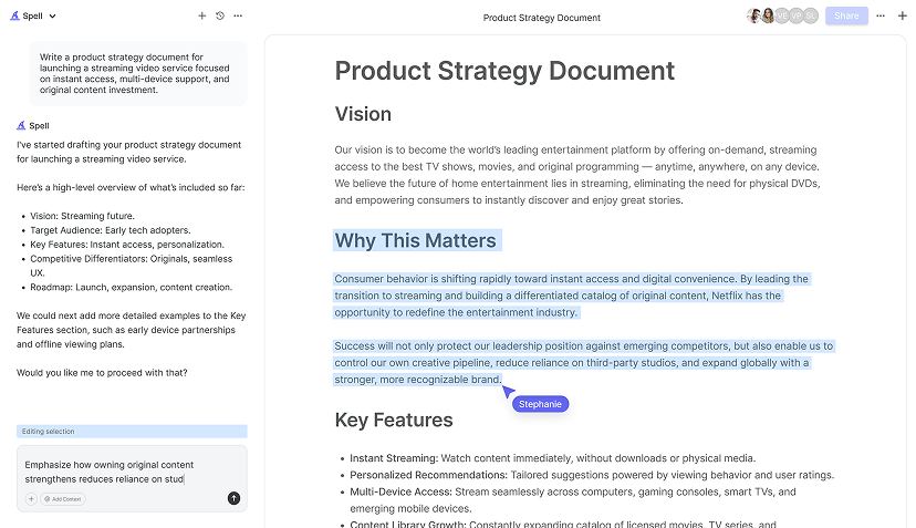
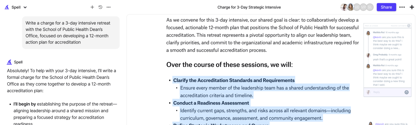
Collaborating with Spell
While adding maps to your Google Doc, have you considered how you might streamline the rest of your document creation process? Spell can be a game-changer here. With its AI-driven capabilities, you can draft, edit, and polish your documents much faster than traditional methods.
Here's how Spell can assist:
- Drafting Faster: Spell's AI can generate a high-quality first draft of your document in seconds. So while you're figuring out the map part, let Spell handle the heavy lifting of text creation.
- Editing on the Fly: With Spell, you can edit using natural language prompts, streamlining the process of refining your document. No more hopping between tools or dealing with formatting issues.
- Real-Time Collaboration: Just like Google Docs, Spell allows for real-time collaboration. This means you can work alongside your team seamlessly while enhancing your document with maps and other visuals.
Spell is not just about making your life easier. It's about elevating the quality of your documents without the extra hassle. It's like having a smart assistant in your document editor, ensuring everything's polished and professional.
Integrating Google Earth Views
For those who want to go a step further, Google Earth provides stunning, detailed views that can add a wow factor to your documents. It's particularly useful for presentations or reports where geographical context is crucial.
Here's how to use it:
- Open Google Earth: Head to Google Earth and find the location you're interested in.
- Navigate and Adjust: Zoom, tilt, and rotate the view until you have the perfect perspective. You can use the 3D view for more depth and realism.
- Capture the Image: Take a screenshot of your view. This part is similar to capturing from Google Maps, but with the added detail that Google Earth provides.
- Insert into Google Docs: Back in Google Docs, insert the image just like you would any other. This provides a rich visual element to accompany your text.
The depth and detail of Google Earth views can really set your document apart, making it more engaging for your readers. It's a great way to provide geographical context or showcase a specific area in detail.
Using Third-Party Mapping Tools
Beyond Google's own suite, there are plenty of third-party tools that can create maps for your documents. Tools like Mapbox or ArcGIS offer advanced features for those who need more than the basics.
Here's a brief look at how you might use these tools:
- Choose Your Tool: Depending on your needs, select a tool that offers the features you require. Mapbox, for instance, provides extensive customization options.
- Create Your Map: Use the tool to design your map. These platforms often come with a learning curve. The results can be much more detailed and tailored to specific requirements.
- Export Your Map: Once your map is complete, export it as an image or PDF. Most tools offer various export options, ensuring you get the best quality.
- Insert into Google Docs: Insert your exported map into your document. This is similar to adding any other image or file.
While third-party tools might require a bit more effort, they offer unparalleled customization and detail, making them ideal for professional or detailed projects.


Optimizing Map Quality
Whether you're using Google Maps, My Maps, or a third-party tool, ensuring the quality of your map is crucial. A low-quality image can detract from your document's professionalism. Here are some tips to keep your maps looking sharp:
- High-Resolution Screenshots: Always opt for the highest resolution possible when taking screenshots. This ensures clarity and detail in your document.
- Consistent Style: Keep the style of your map consistent with your document. Matching colors, fonts, and styles can create a cohesive look.
- Test Different Formats: Sometimes, different file formats can affect quality. Experiment with JPEG and PNG to see which works best for your needs.
- Use Image Editing Software: Use tools like Photoshop or GIMP to enhance your map images. You can adjust brightness, contrast, and even add annotations before inserting them into Google Docs.
Quality is key when it comes to visual elements in documents. Taking the extra time to ensure your maps look great can make a significant difference in how your document is perceived.
Final Thoughts
Adding maps to your Google Docs is a fantastic way to enhance your documents, whether for a project plan, a presentation, or just to add a visual element. From using Google My Maps, taking screenshots, to exploring Google Earth, there are multiple ways to get the job done. And when it comes to drafting and refining the rest of your document, Spell is there to make the process faster and more efficient. With its AI capabilities, you can create high-quality documents in no time, keeping everything polished and professional. Happy mapping